Asia map quiz
Can you find all 46 countries of Asia on the map? Tap the country we name and zoom in for the small ones. Free, no sign-up.
For teachers
Use this quiz in class: share the link, post it to Google Classroom or embed it on your class site, Padlet or LMS. Free, no sign-up, no ads — the embedded version has no analytics and no cookie banner.
How it works
- We name a country — tap it on the map. Right on the first try turns it green.
- Missed? You get a second try (yellow). After two misses the right country lights up red.
- Small countries are circles. Zoom with + and −, pinch on a phone or Ctrl + scroll on a computer; drag to move the zoomed map.
- Play 10 random countries or switch to “All 46”. “Explore” shows every country’s name, flag and capital — handy for learning first.
Tips: the tricky parts of the map
- Kazakhstan is the giant of Central Asia. Turkmenistan and Uzbekistan lie to its south-west, Kyrgyzstan and Tajikistan to its south-east.
- The Gulf states are small: Kuwait at the top of the Gulf, Bahrain an island, Qatar a peninsula, then the United Arab Emirates and Oman.
- Mainland Southeast Asia from west to east: Myanmar, Thailand, Laos, Cambodia, Vietnam. Malaysia is split between the peninsula and Borneo, where tiny Brunei sits.
All 46 countries in the Asia map quiz
Western Asia · 16
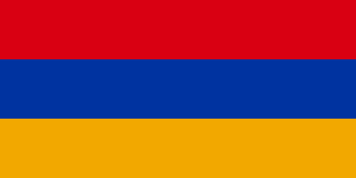 ArmeniaYerevan
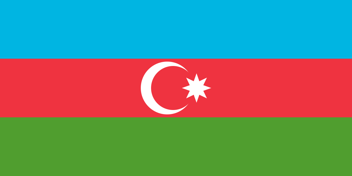 AzerbaijanBaku
 BahrainManama
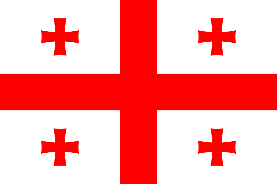 GeorgiaTbilisi
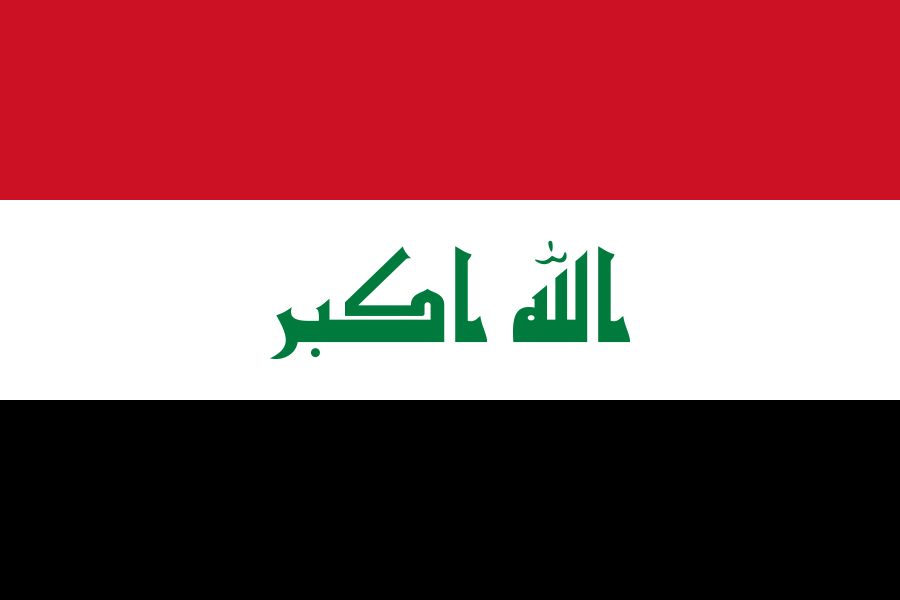 IraqBaghdad
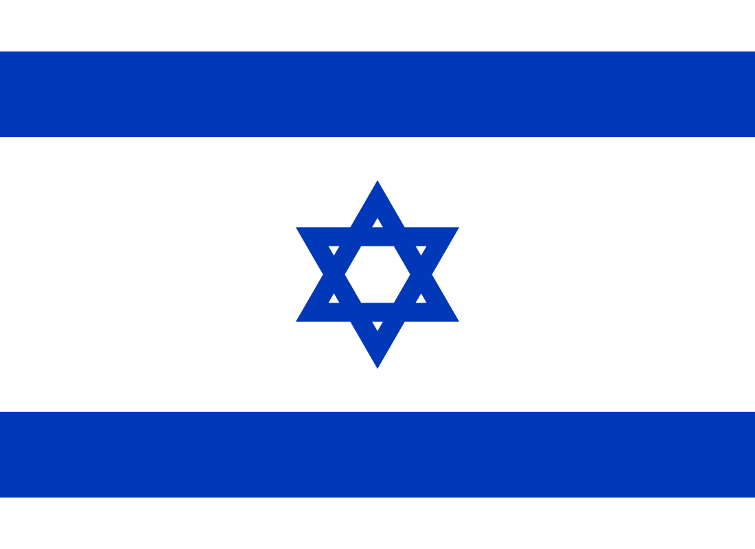 Israel
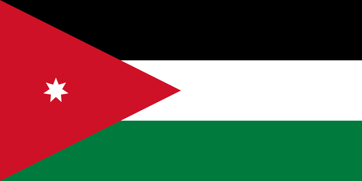 JordanAmman
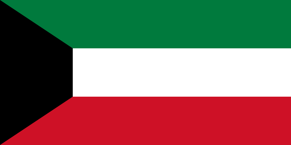 KuwaitKuwait City
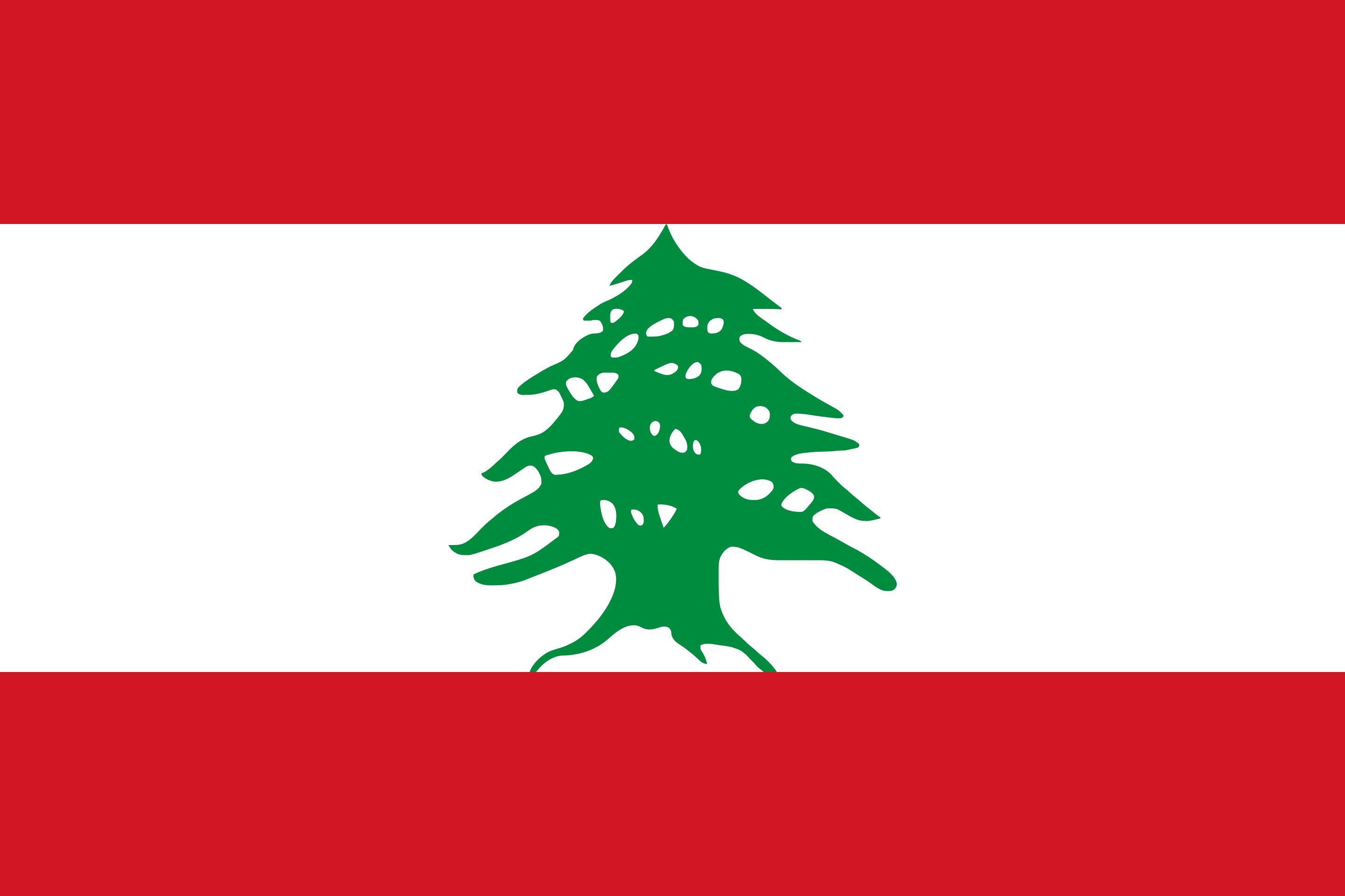 LebanonBeirut
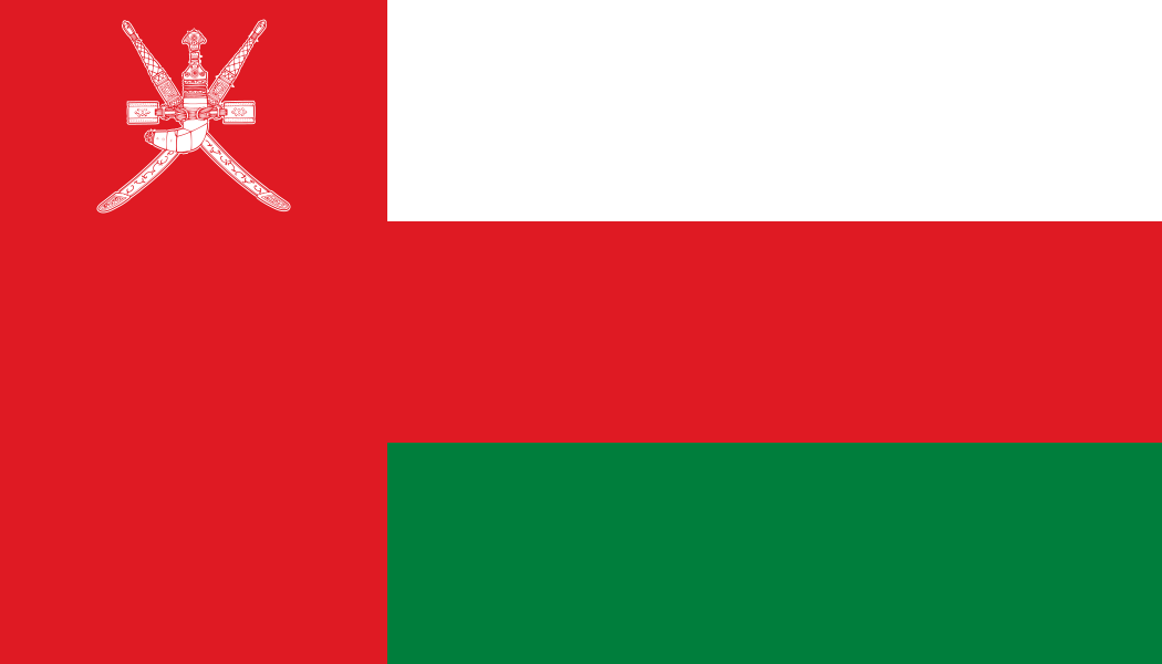 OmanMuscat
 QatarDoha
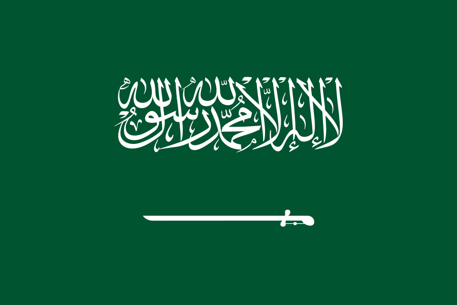 Saudi ArabiaRiyadh
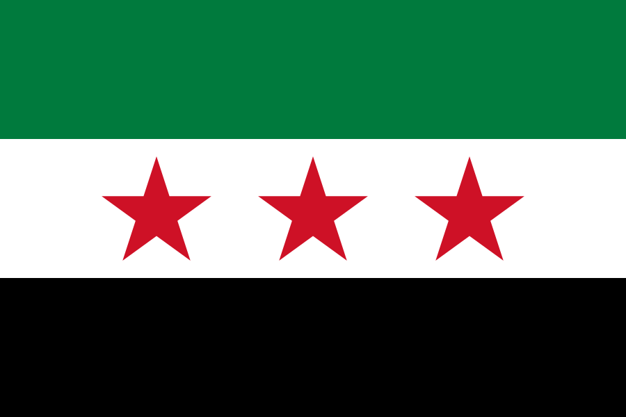 SyriaDamascus
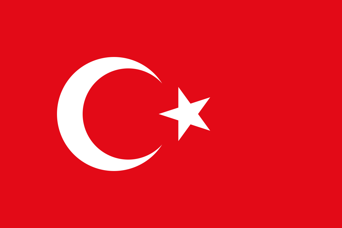 TürkiyeAnkara
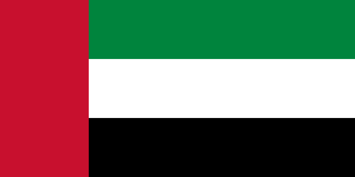 United Arab EmiratesAbu Dhabi
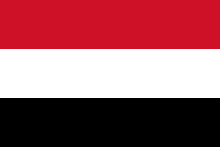 YemenSana'a
Central Asia · 5
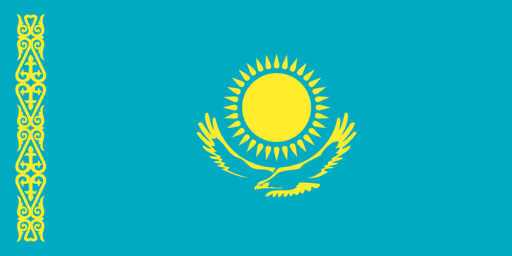 KazakhstanAstana
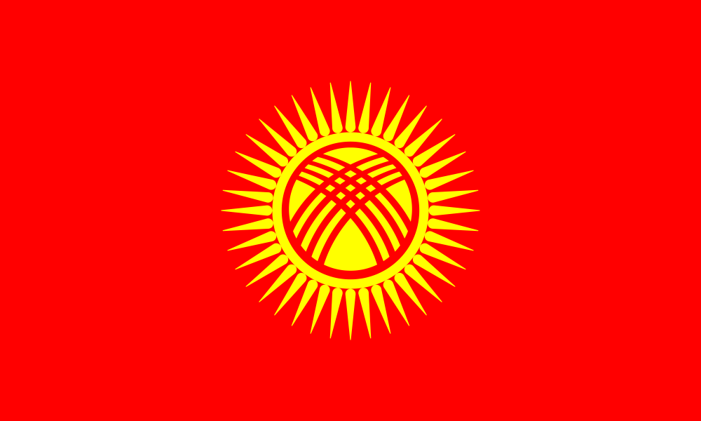 KyrgyzstanBishkek
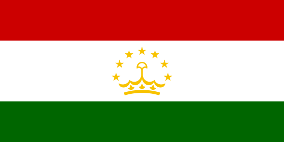 TajikistanDushanbe
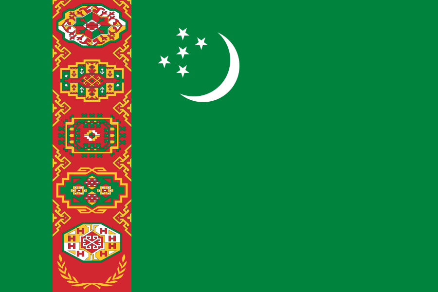 TurkmenistanAshgabat
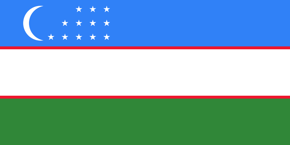 UzbekistanTashkent
South Asia · 9
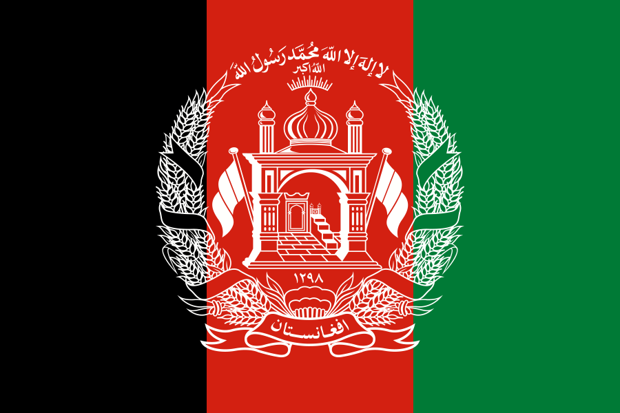 AfghanistanKabul
 BangladeshDhaka
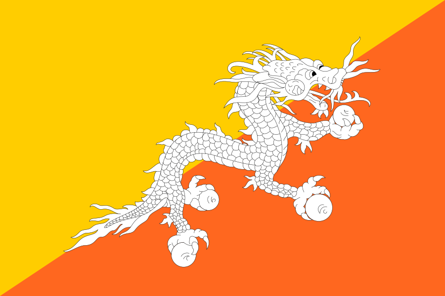 BhutanThimphu
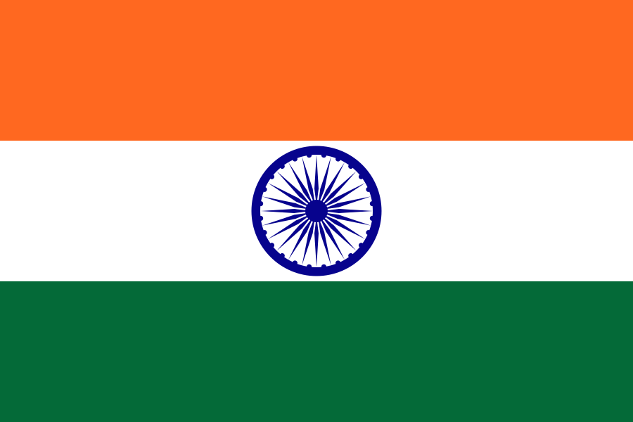 IndiaNew Delhi
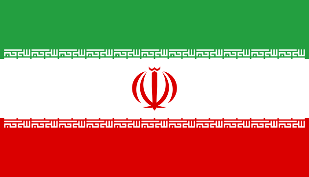 IranTehran
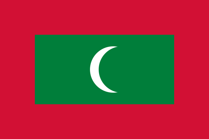 MaldivesMalé
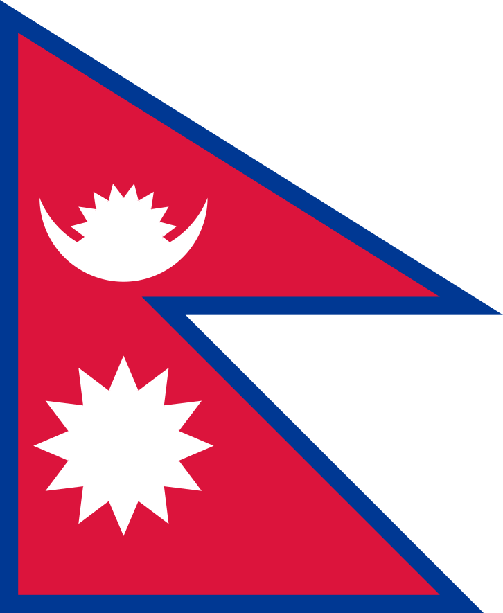 NepalKathmandu
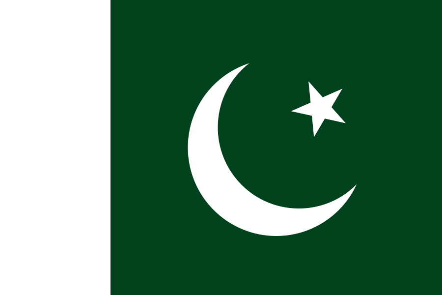 PakistanIslamabad
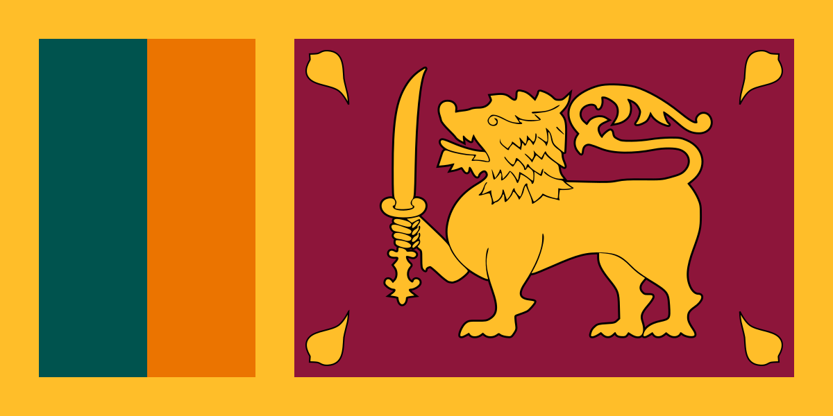 Sri LankaColombo
East Asia · 5
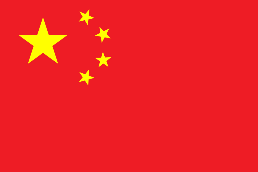 ChinaBeijing
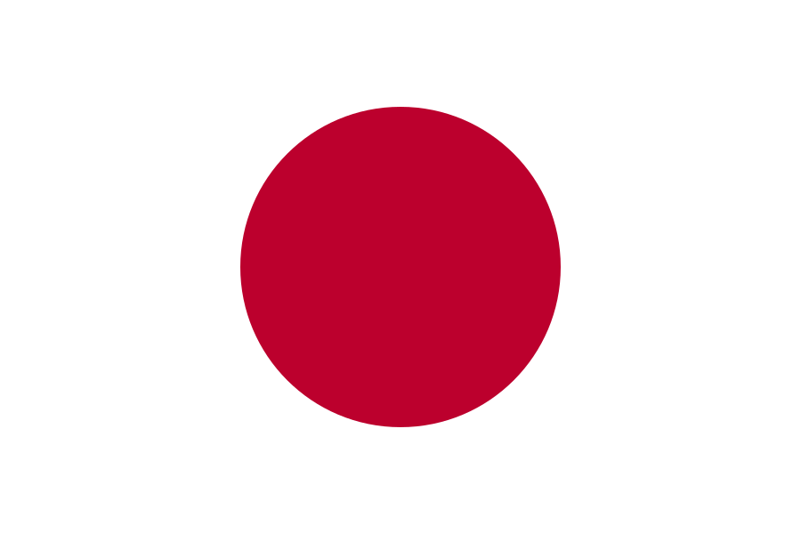 JapanTokyo
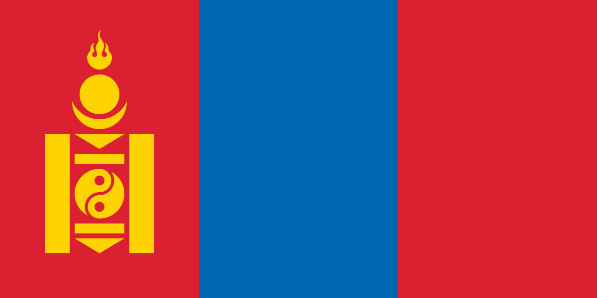 MongoliaUlan Bator
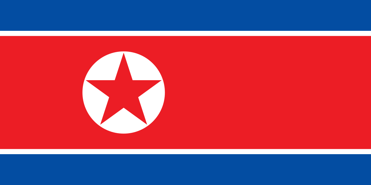 North KoreaPyongyang
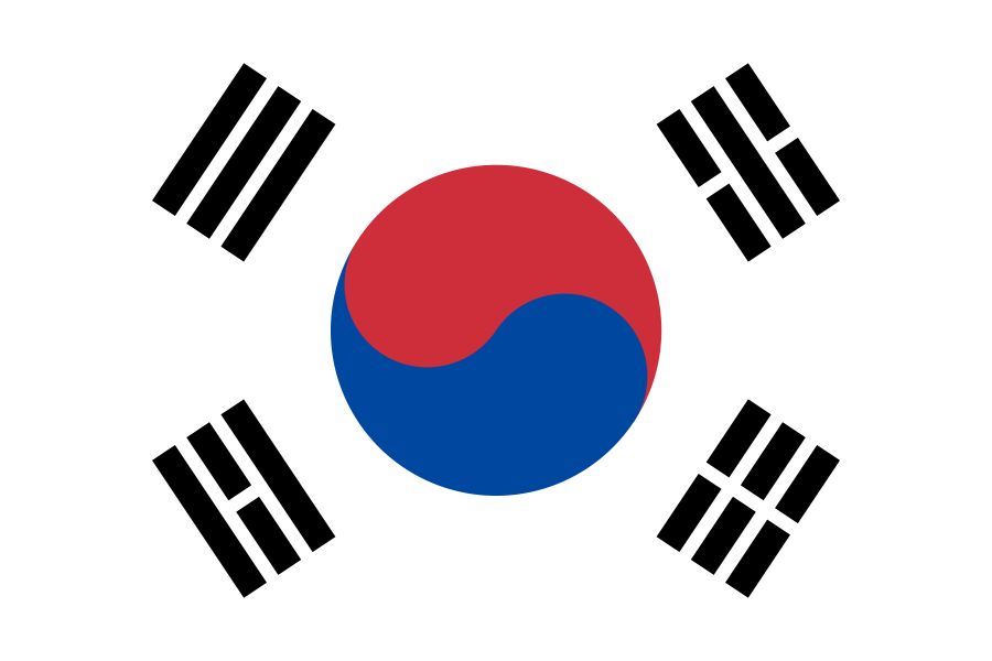 South KoreaSeoul
Southeast Asia · 11
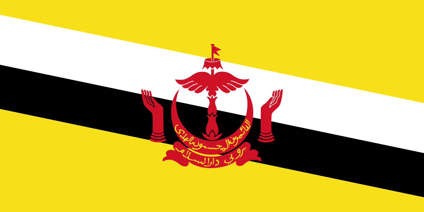 BruneiBandar Seri Begawan
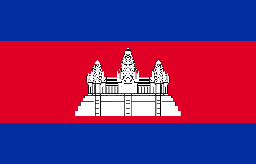 CambodiaPhnom Penh
 IndonesiaJakarta
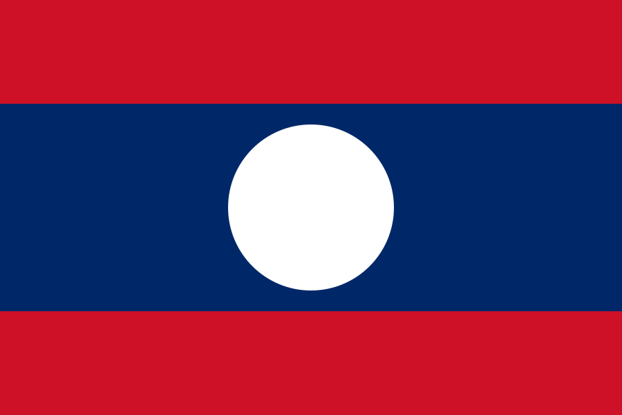 LaosVientiane
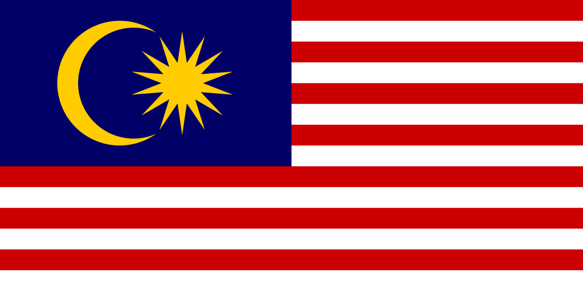 MalaysiaKuala Lumpur
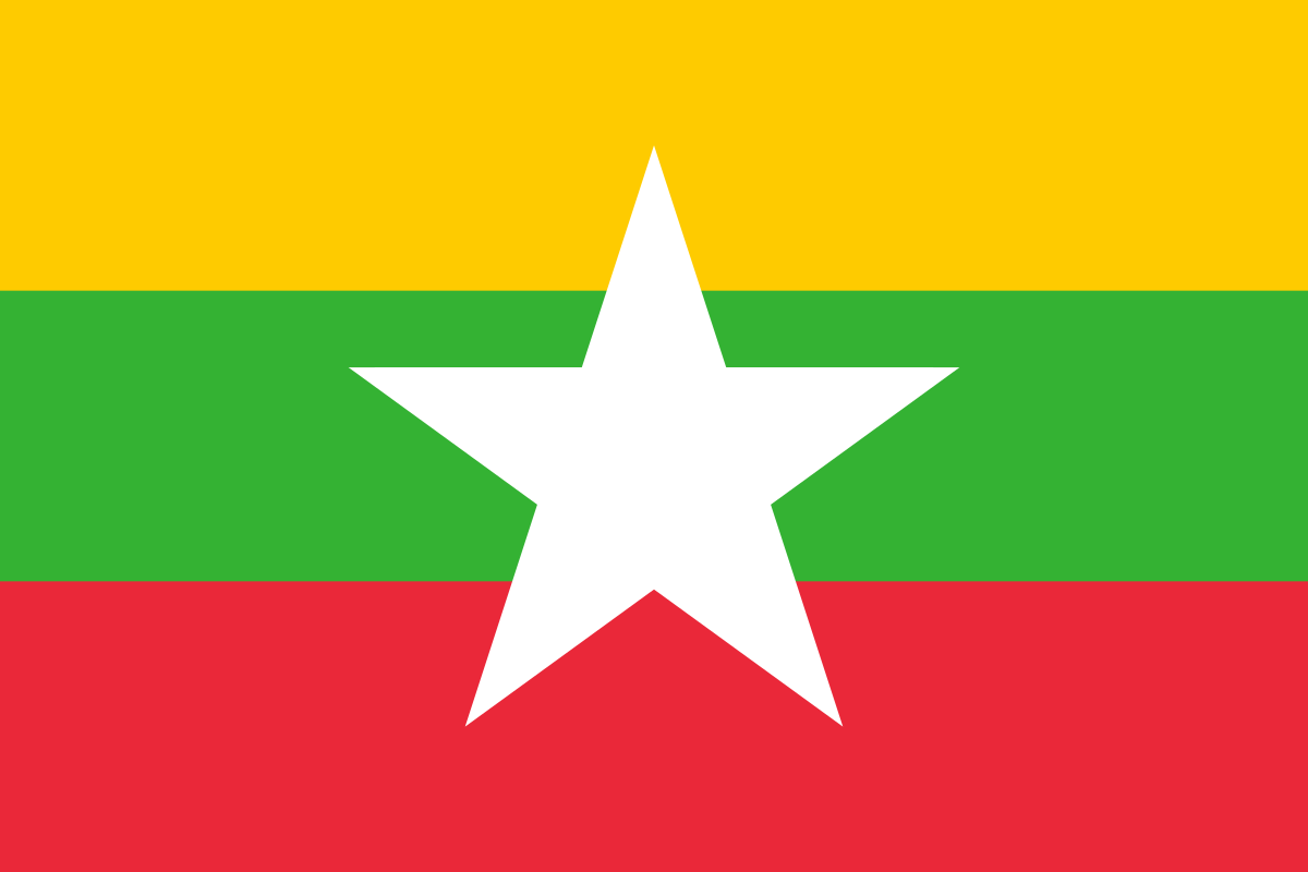 MyanmarNaypyidaw
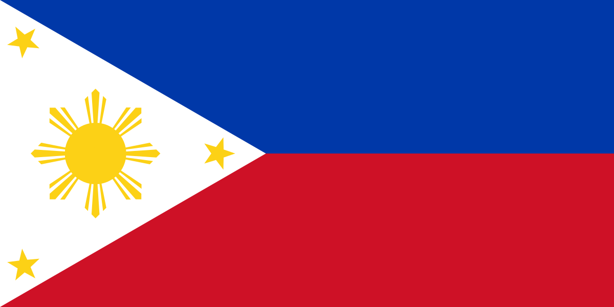 PhilippinesManila
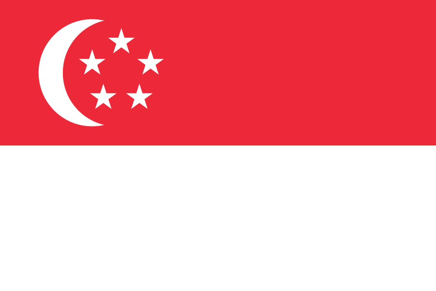 SingaporeSingapore
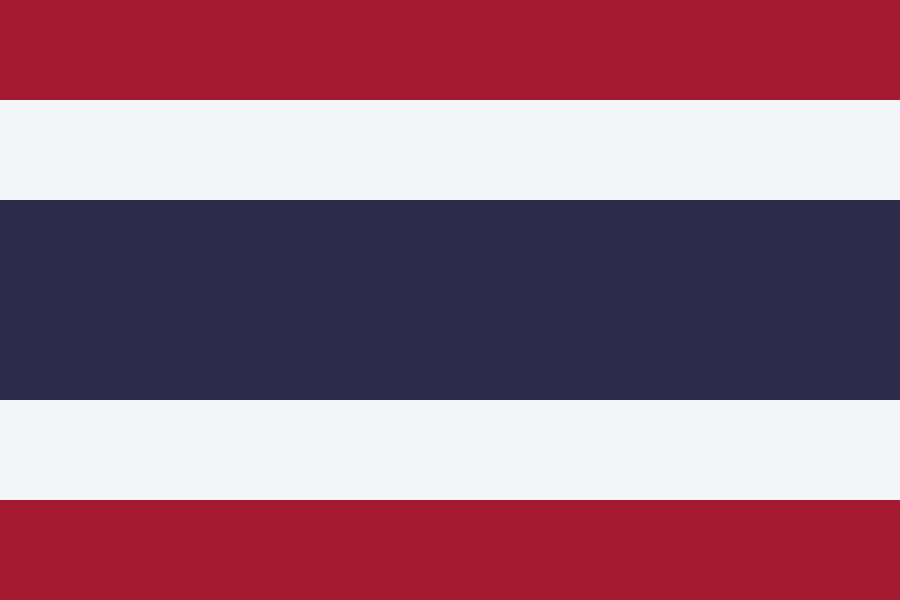 ThailandBangkok
 Timor-LesteDili
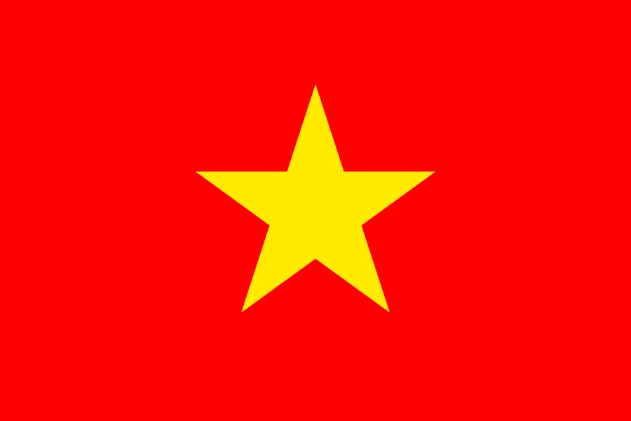 VietnamHanoi
Questions
How many countries are in the Asia map quiz?
46 — every country of Asia. A round asks 10 at random; switch to “All 46” to do the whole map.
How do I hit the small countries?
Countries too small to tap are drawn as circles that keep the same size when you zoom. Zoom in with + or a pinch, then tap.
Which borders does the map use?
Internationally recognised borders, from Natural Earth map data. Grey land isn’t asked: overseas territories such as Greenland, and places that aren’t UN member states. Areas with a disputed status are hatched and aren’t part of any answer; as on most online maps, some of them may be shown differently depending on your region. The map is for learning and takes no political position.
Can I use this quiz in class?
Yes — it’s free, needs no accounts and works on phones, tablets and classroom screens. In the For teachers block under the game you can copy the link or post the quiz to Google Classroom in one click. For a class site, Padlet or LMS, open “Get embed code”, copy it and paste it wherever the page accepts HTML (an “embed” or “HTML” option): the quiz then plays right on that page. The embedded version has no ads, no analytics and no cookie banner.
Can I practise flags too?
Yes — the Asia flag quiz uses the same countries.