North America map quiz
Can you find all 23 countries of North America on the map? Tap the country we name and zoom in for the small ones. Free, no sign-up.
For teachers
Use this quiz in class: share the link, post it to Google Classroom or embed it on your class site, Padlet or LMS. Free, no sign-up, no ads — the embedded version has no analytics and no cookie banner.
How it works
- We name a country — tap it on the map. Right on the first try turns it green.
- Missed? You get a second try (yellow). After two misses the right country lights up red.
- Small countries are circles. Zoom with + and −, pinch on a phone or Ctrl + scroll on a computer; drag to move the zoomed map.
- Play 10 random countries or switch to “All 23”. “Explore” shows every country’s name, flag and capital — handy for learning first.
Tips: the tricky parts of the map
- Central America from north to south: Belize and Guatemala, then Honduras and El Salvador (the only one without a Caribbean coast), Nicaragua, Costa Rica, Panama.
- Cuba, Jamaica, Haiti and the Dominican Republic (they share Hispaniola) are big enough to tap. The small islands of the Caribbean are circles — zoom in.
- Greenland is grey: it’s part of the Kingdom of Denmark, not a country of its own.
All 23 countries in the North America map quiz
Northern America · 2
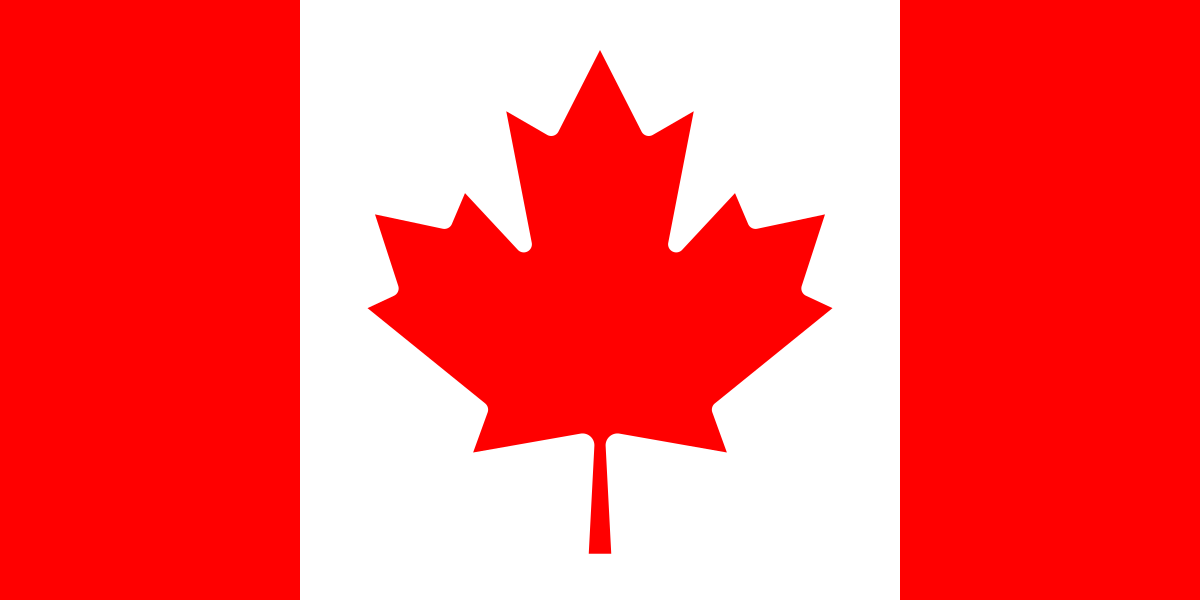 CanadaOttawa
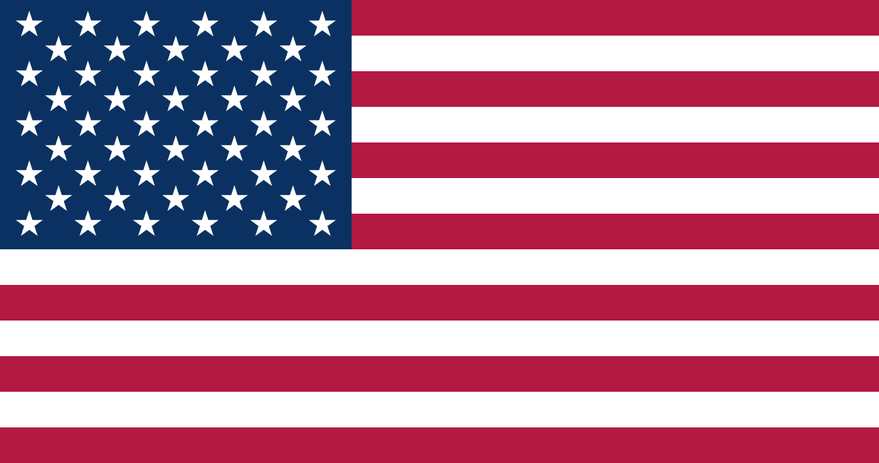 United StatesWashington D.C.
Central America and Mexico · 8
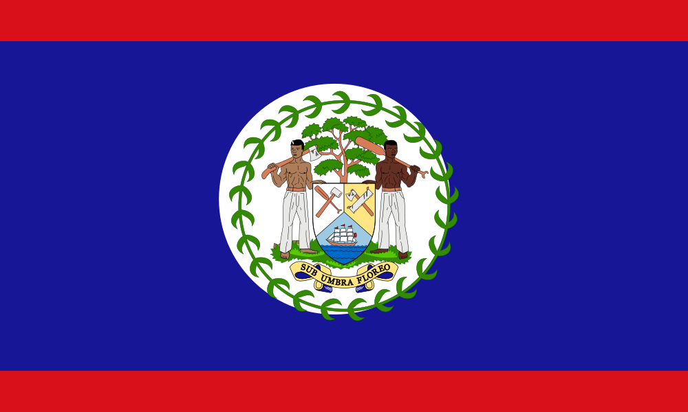 BelizeBelmopan
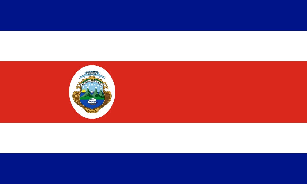 Costa RicaSan José
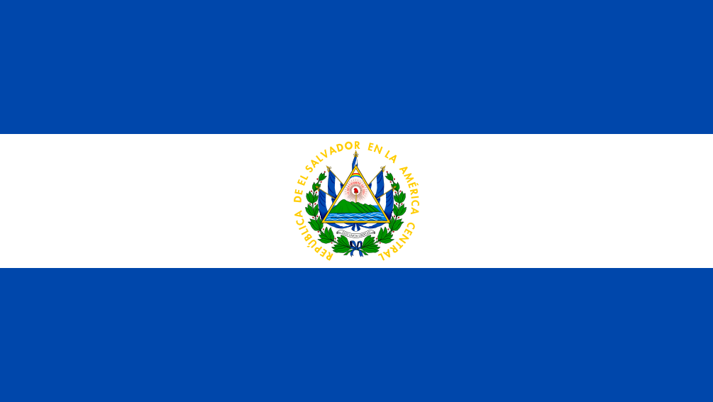 El SalvadorSan Salvador
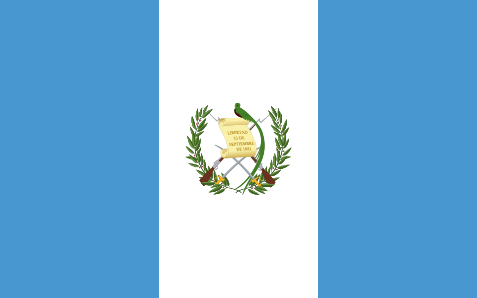 GuatemalaGuatemala City
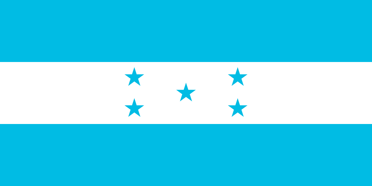 HondurasTegucigalpa
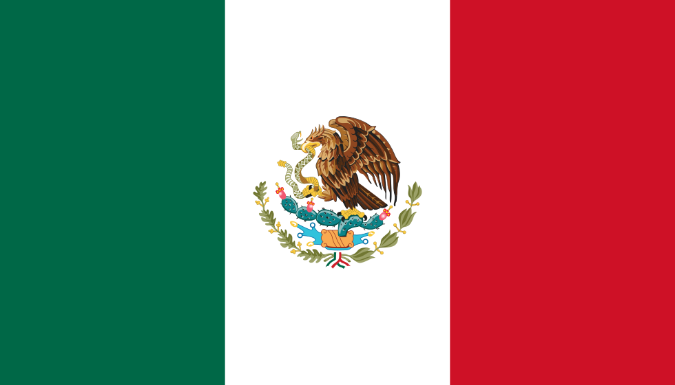 MexicoMexico City
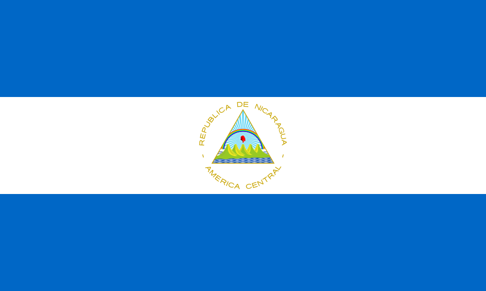 NicaraguaManagua
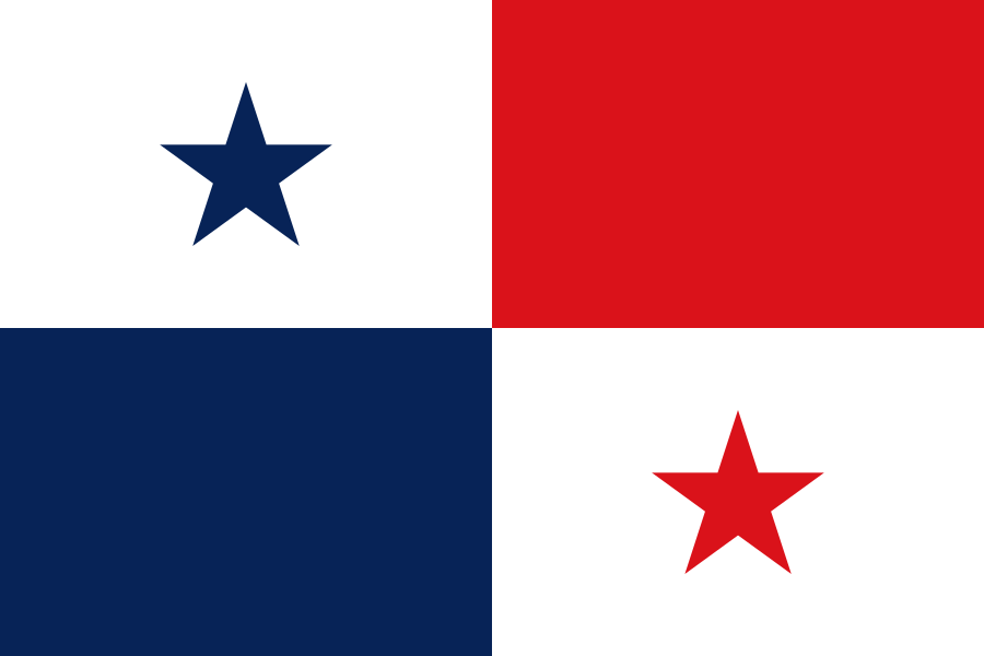 PanamaPanama City
Caribbean · 13
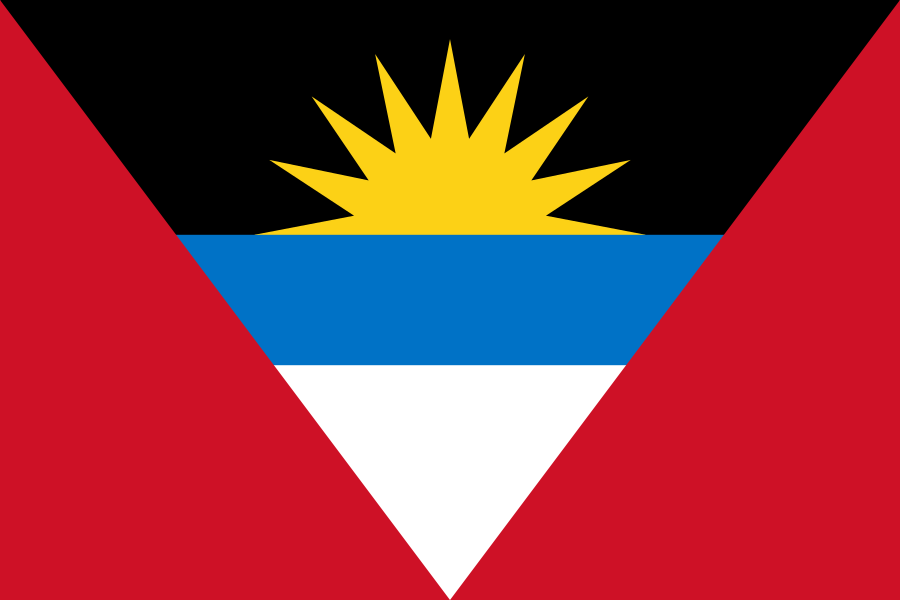 Antigua and BarbudaSaint John's
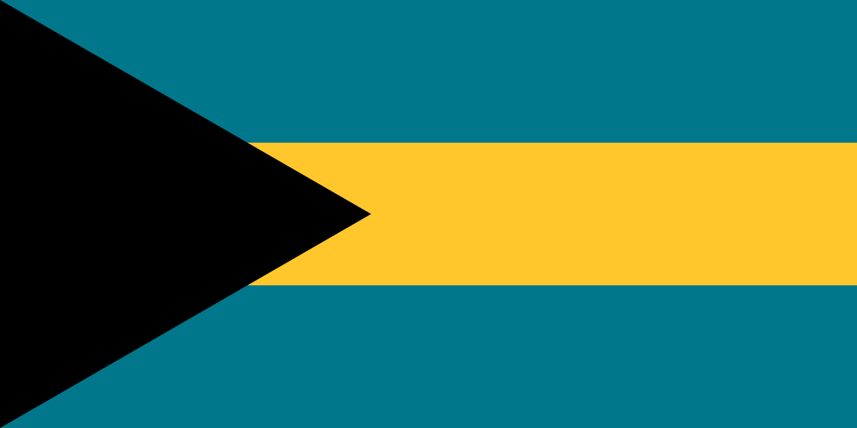 BahamasNassau
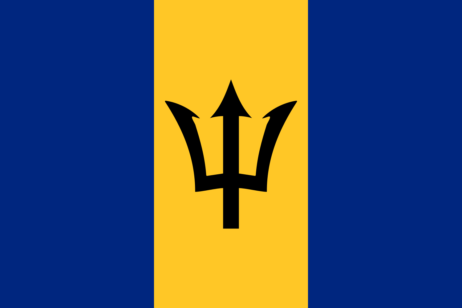 BarbadosBridgetown
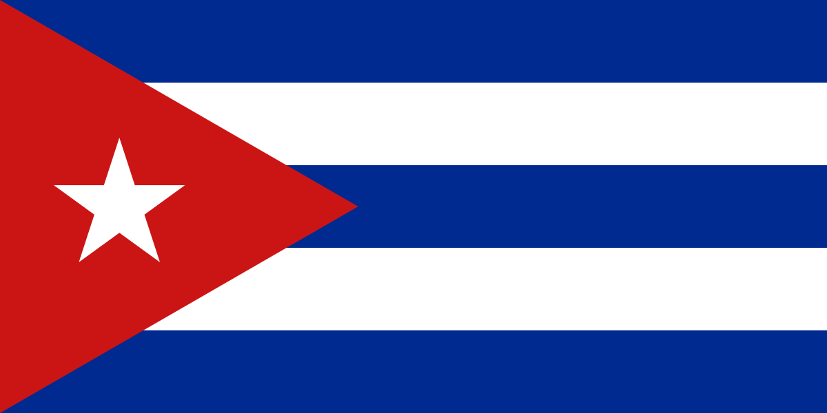 CubaHavana
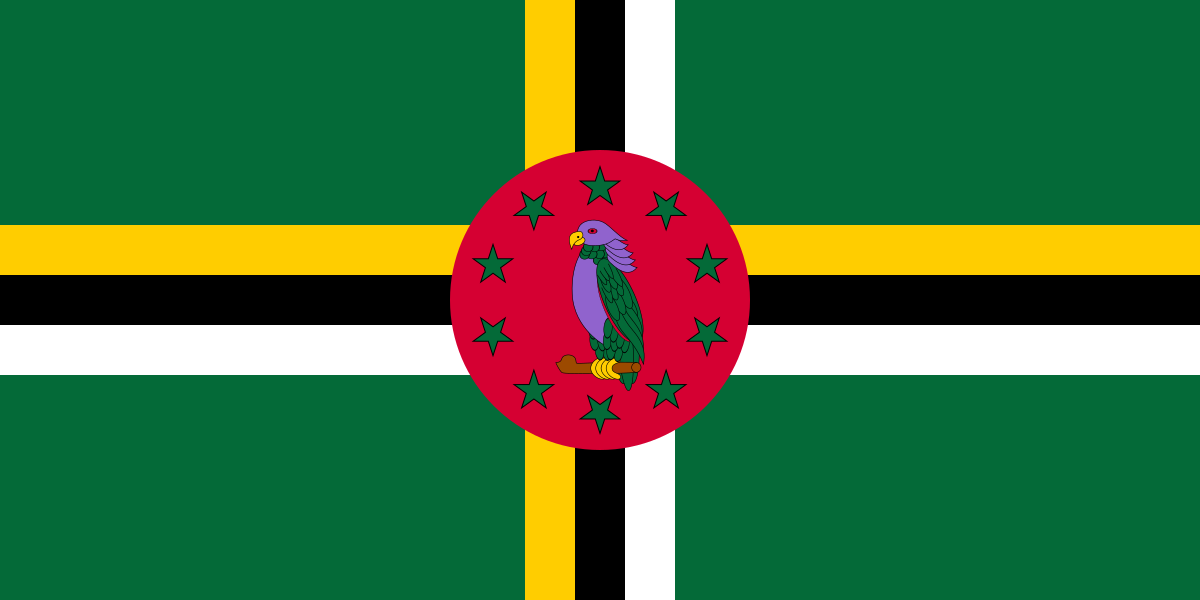 DominicaRoseau
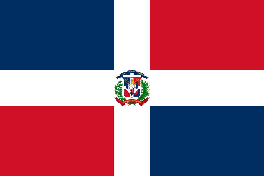 Dominican RepublicSanto Domingo
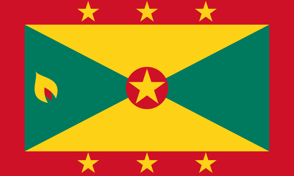 GrenadaSt. George's
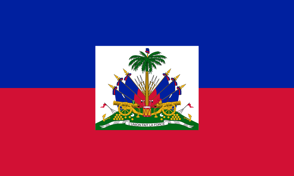 HaitiPort-au-Prince
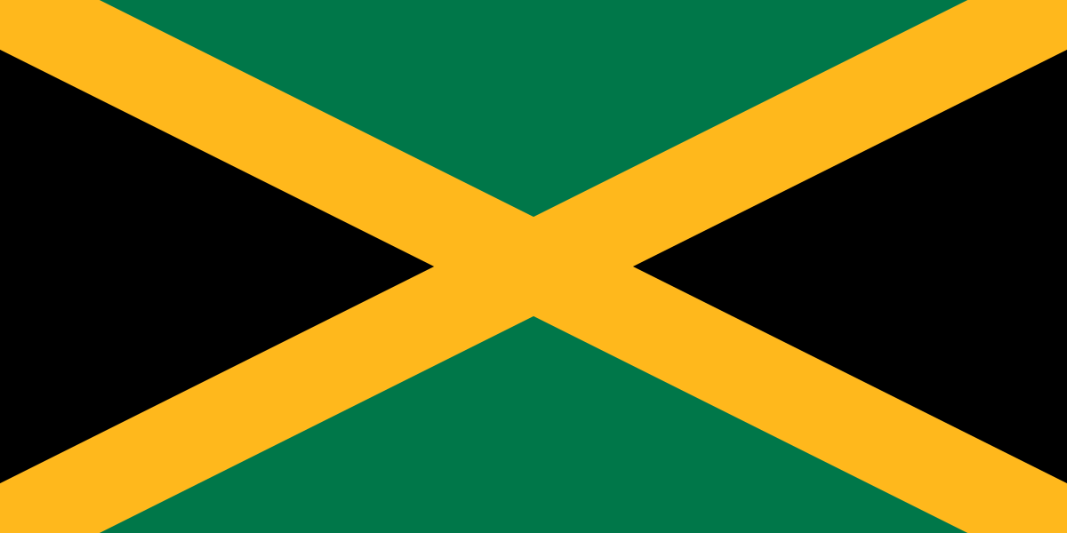 JamaicaKingston
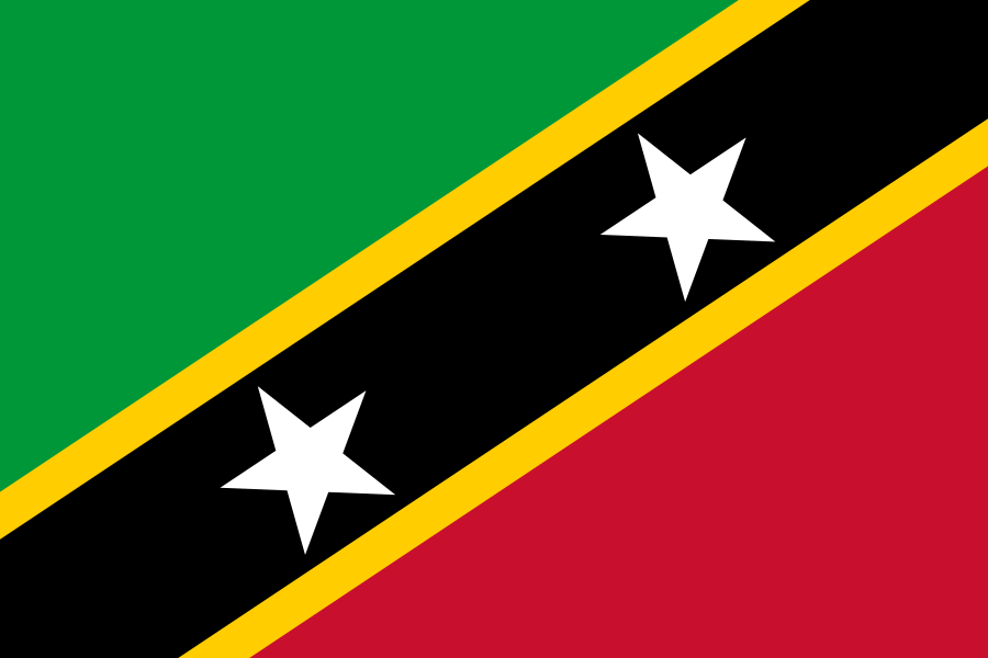 Saint Kitts and NevisBasseterre
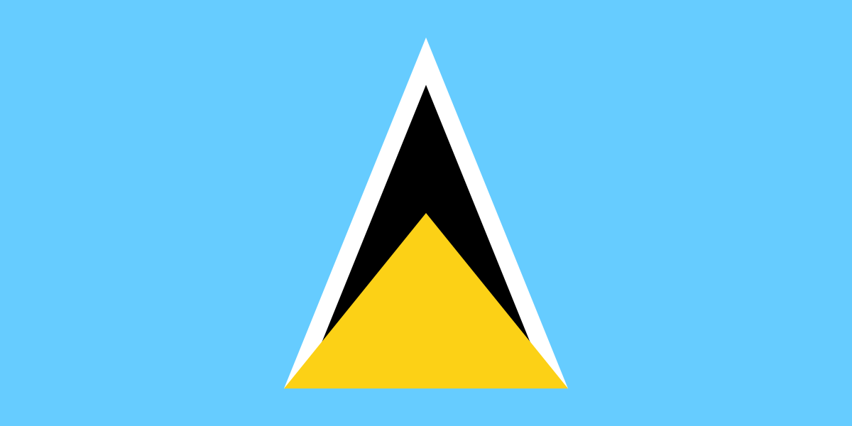 Saint LuciaCastries
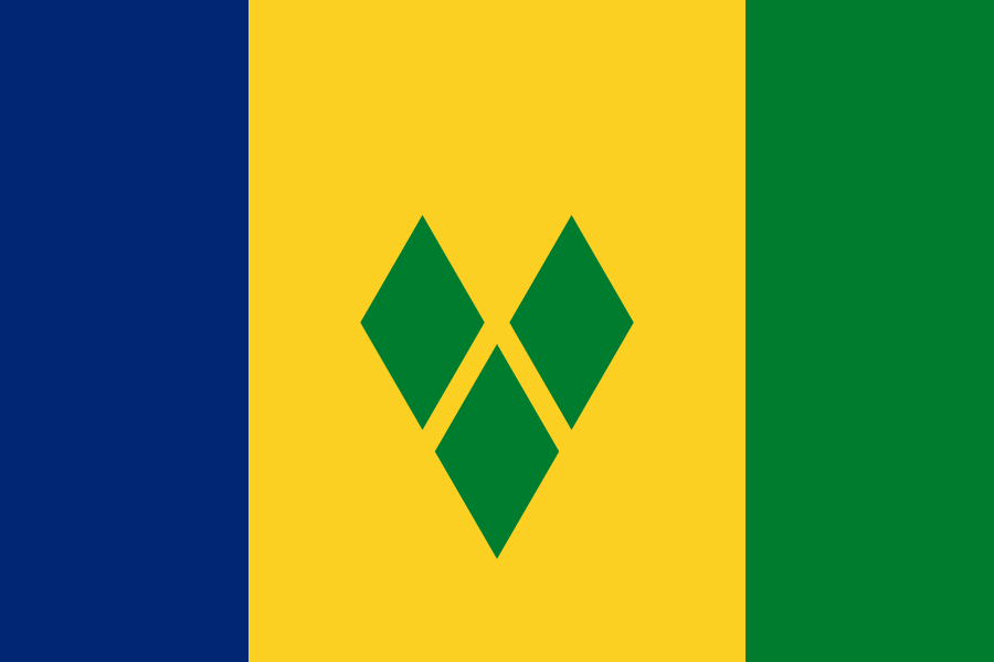 Saint Vincent and the GrenadinesKingstown
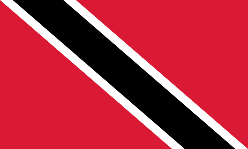 Trinidad and TobagoPort of Spain
Questions
How many countries are in the North America map quiz?
23 — every country of North America. A round asks 10 at random; switch to “All 23” to do the whole map.
How do I hit the small countries?
Countries too small to tap are drawn as circles that keep the same size when you zoom. Zoom in with + or a pinch, then tap.
Which borders does the map use?
Internationally recognised borders, from Natural Earth map data. Grey land isn’t asked: overseas territories such as Greenland, and places that aren’t UN member states. Areas with a disputed status are hatched and aren’t part of any answer; as on most online maps, some of them may be shown differently depending on your region. The map is for learning and takes no political position.
Can I use this quiz in class?
Yes — it’s free, needs no accounts and works on phones, tablets and classroom screens. In the For teachers block under the game you can copy the link or post the quiz to Google Classroom in one click. For a class site, Padlet or LMS, open “Get embed code”, copy it and paste it wherever the page accepts HTML (an “embed” or “HTML” option): the quiz then plays right on that page. The embedded version has no ads, no analytics and no cookie banner.
Can I practise flags too?
Yes — the Americas flag quiz uses the same countries.