Europe map quiz
Can you find all 44 countries of Europe on the map? Tap the country we name and zoom in for the small ones. Free, no sign-up.
For teachers
Use this quiz in class: share the link, post it to Google Classroom or embed it on your class site, Padlet or LMS. Free, no sign-up, no ads — the embedded version has no analytics and no cookie banner.
How it works
- We name a country — tap it on the map. Right on the first try turns it green.
- Missed? You get a second try (yellow). After two misses the right country lights up red.
- Small countries are circles. Zoom with + and −, pinch on a phone or Ctrl + scroll on a computer; drag to move the zoomed map.
- Play 10 random countries or switch to “All 44”. “Explore” shows every country’s name, flag and capital — handy for learning first.
Tips: the tricky parts of the map
- The Baltic states run north to south in alphabetical order: Estonia, Latvia, Lithuania.
- The six microstates are circles: Andorra (between France and Spain), Monaco (on the French Riviera), San Marino (inside Italy), Liechtenstein (between Switzerland and Austria), Luxembourg and Malta (south of Sicily).
- The Balkans are the hardest part. Along the Adriatic from the north: Slovenia, Croatia, Bosnia and Herzegovina, Montenegro, Albania; North Macedonia is inland, north of Greece.
All 44 countries in the Europe map quiz
Northern Europe · 10
 DenmarkCopenhagen
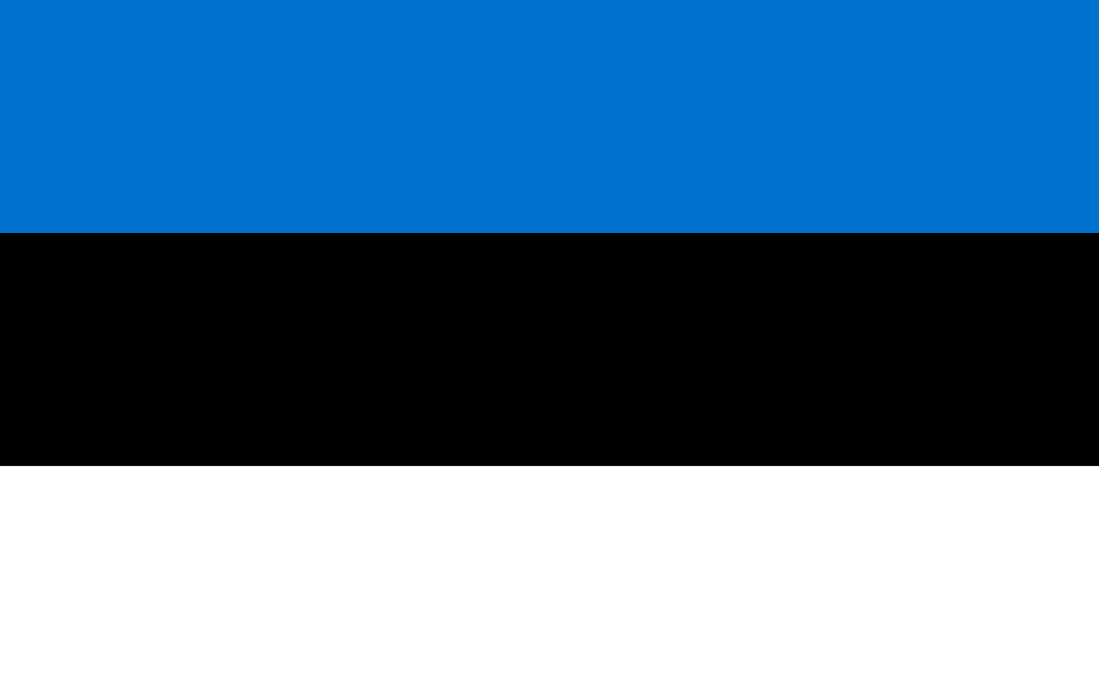 EstoniaTallinn
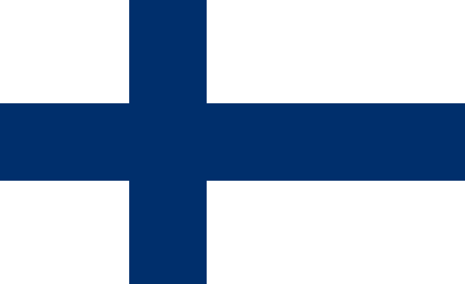 FinlandHelsinki
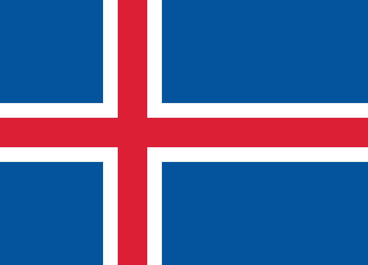 IcelandReykjavik
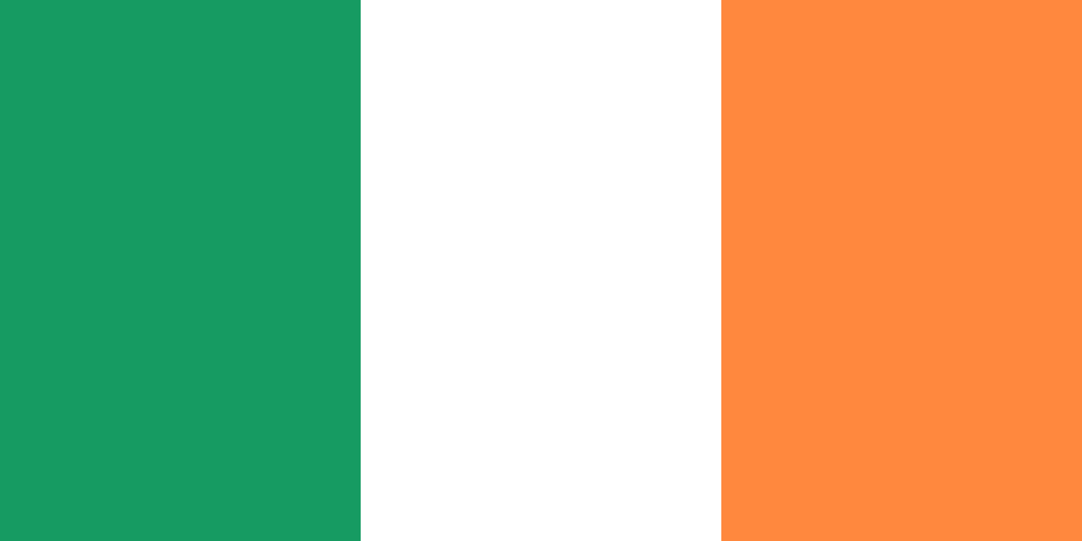 IrelandDublin
 LatviaRiga
 LithuaniaVilnius
 NorwayOslo
 SwedenStockholm
 United KingdomLondon
Western Europe · 9
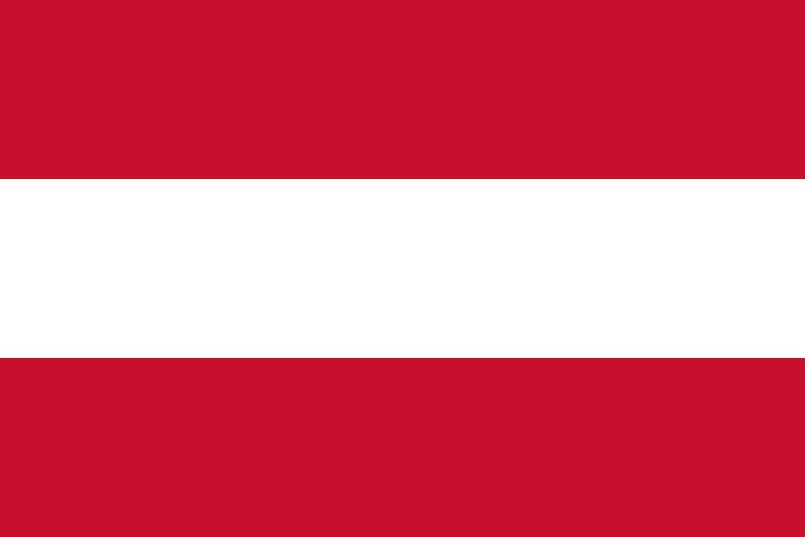 AustriaVienna
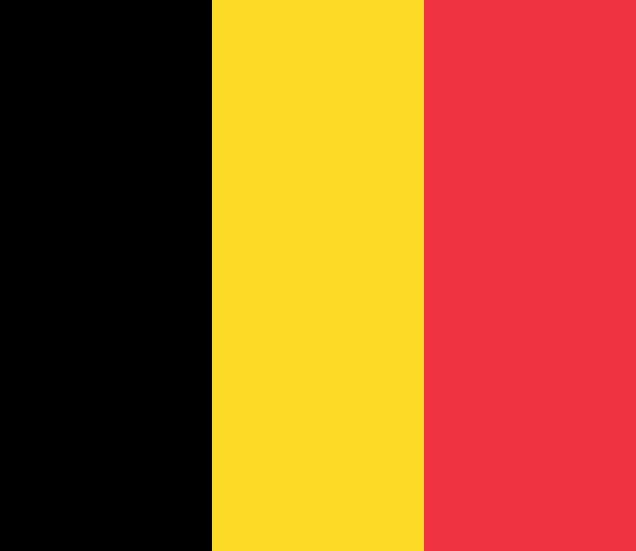 BelgiumBrussels
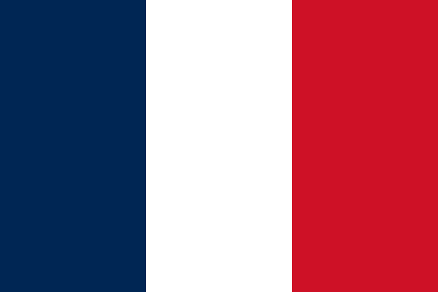 FranceParis
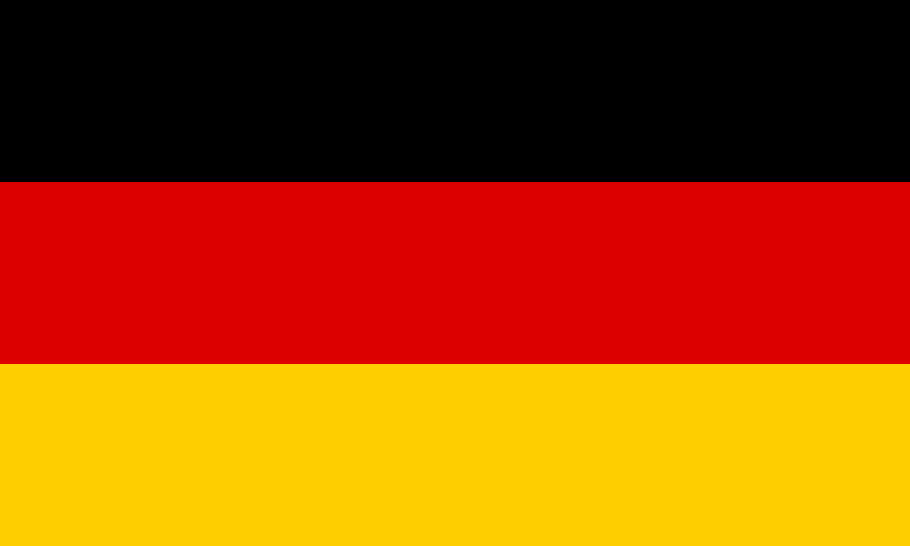 GermanyBerlin
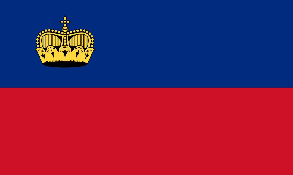 LiechtensteinVaduz
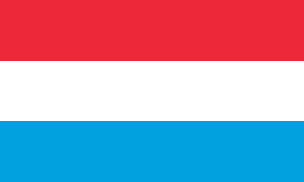 LuxembourgLuxembourg
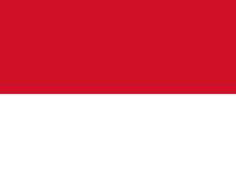 MonacoMonaco
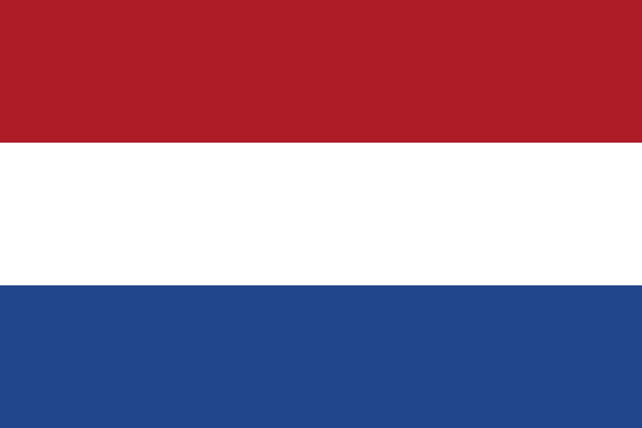 NetherlandsAmsterdam
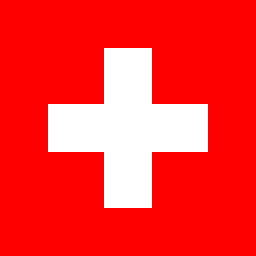 SwitzerlandBern
Southern Europe · 15
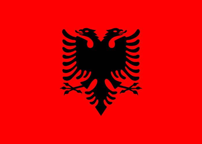 AlbaniaTirana
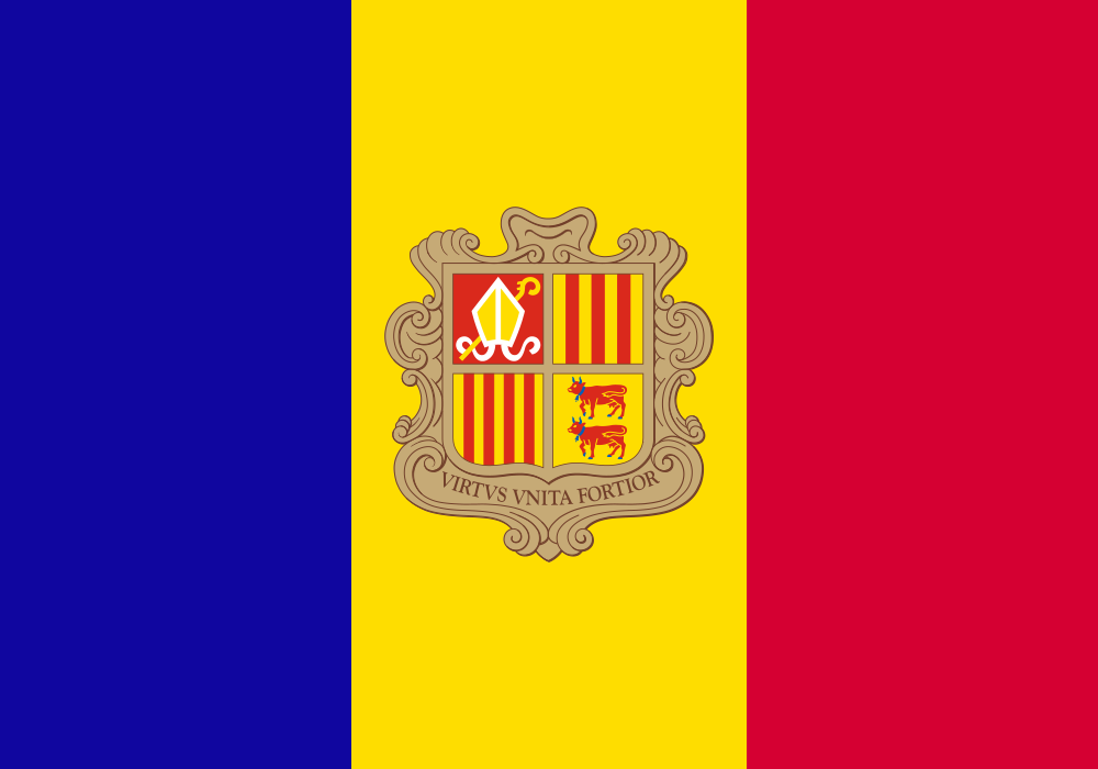 AndorraAndorra la Vella
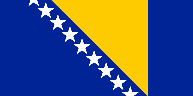 Bosnia and HerzegovinaSarajevo
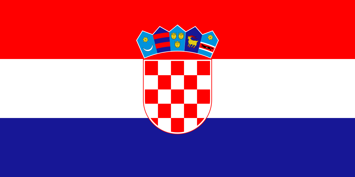 CroatiaZagreb
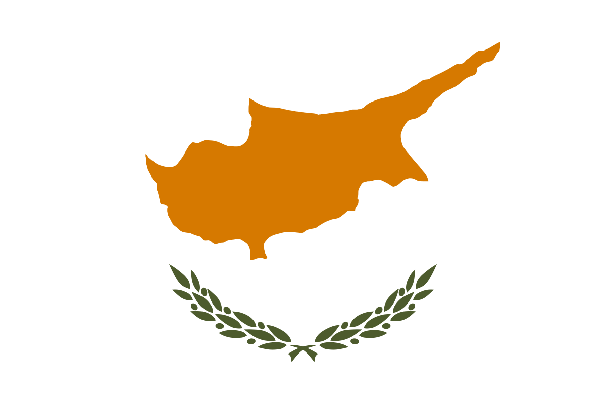 CyprusNicosia
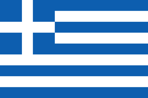 GreeceAthens
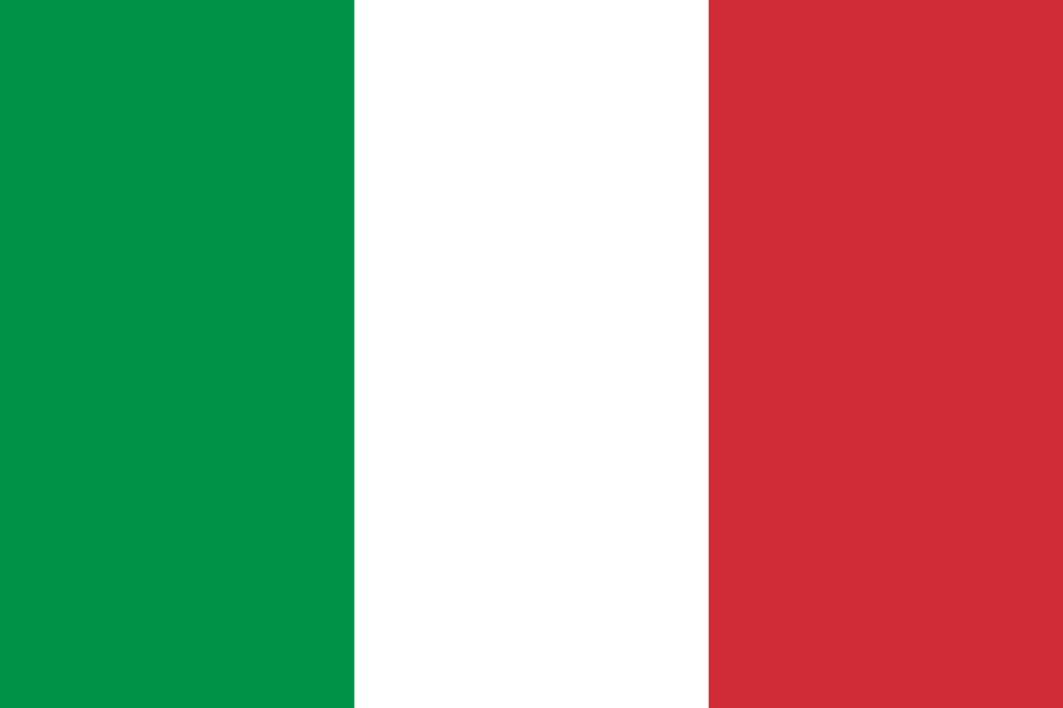 ItalyRome
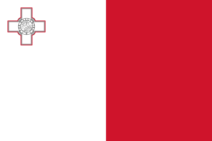 MaltaValletta
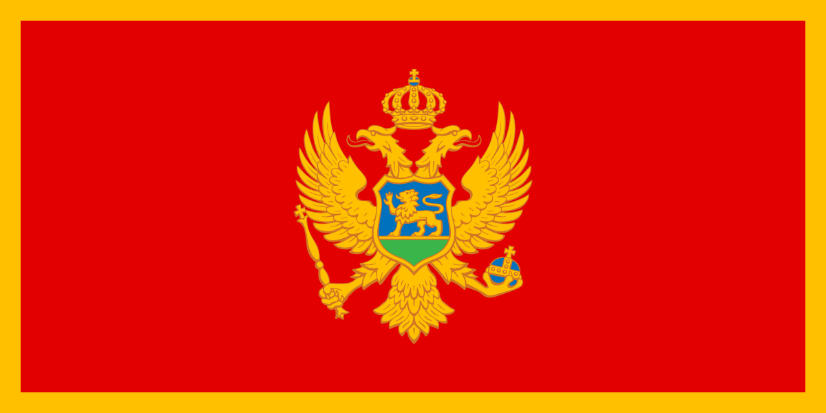 MontenegroPodgorica
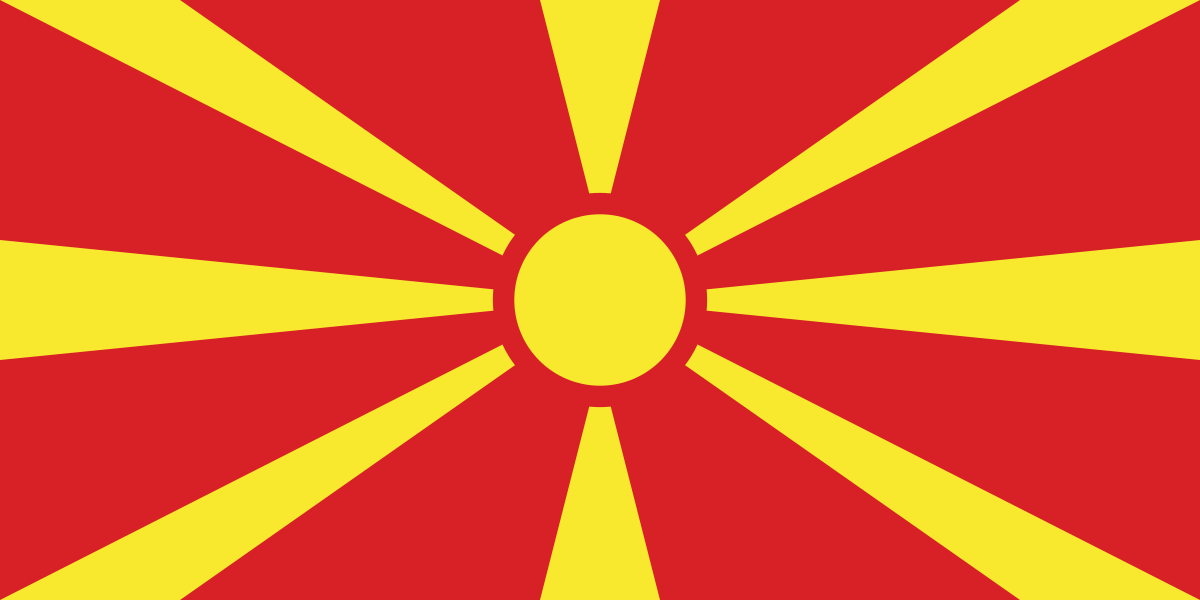 North MacedoniaSkopje
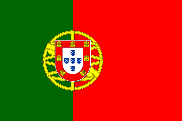 PortugalLisbon
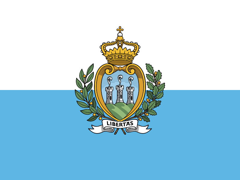 San MarinoCity of San Marino
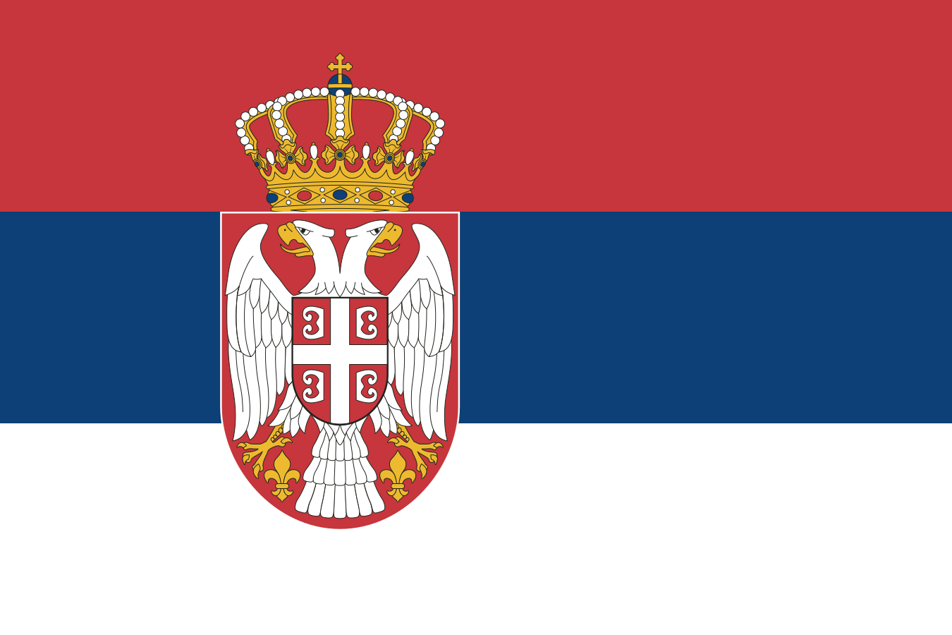 SerbiaBelgrade
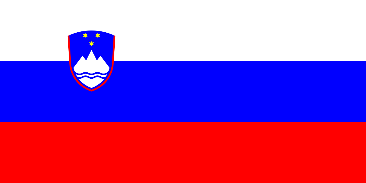 SloveniaLjubljana
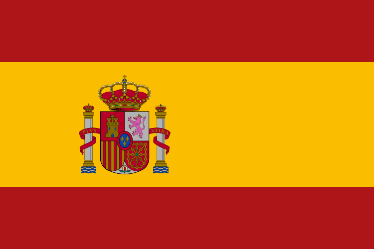 SpainMadrid
Eastern Europe · 10
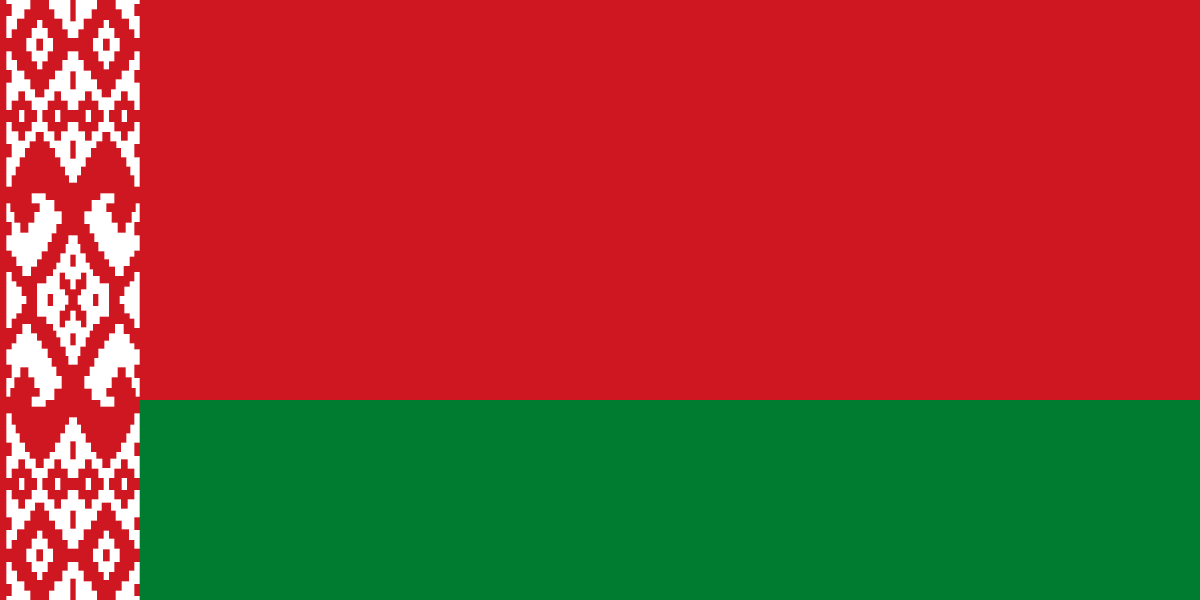 BelarusMinsk
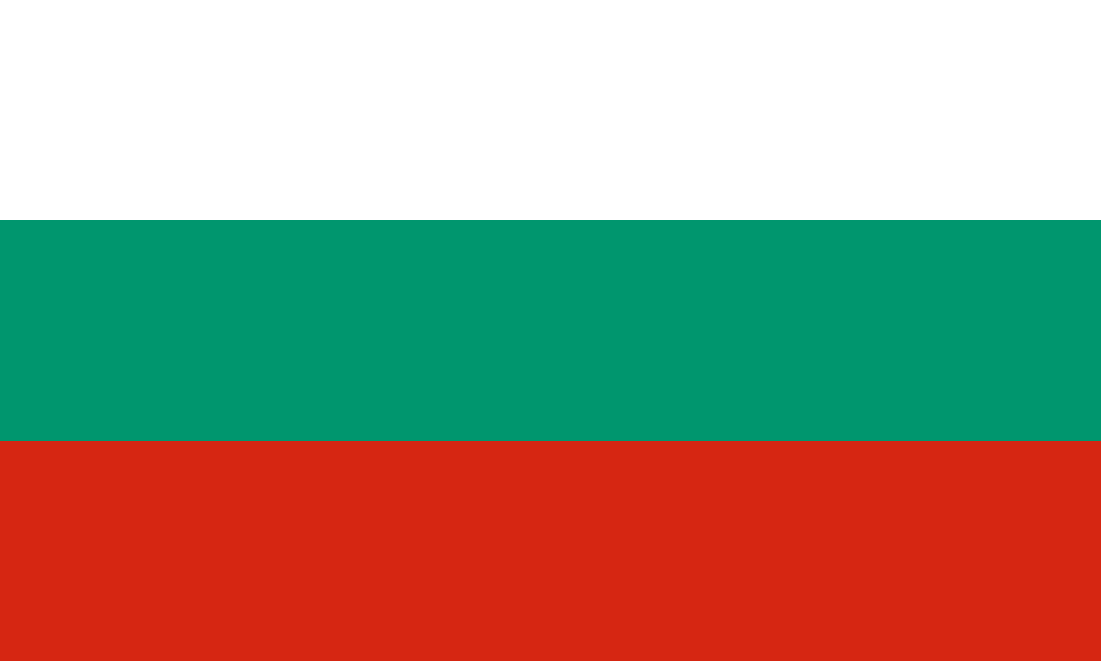 BulgariaSofia
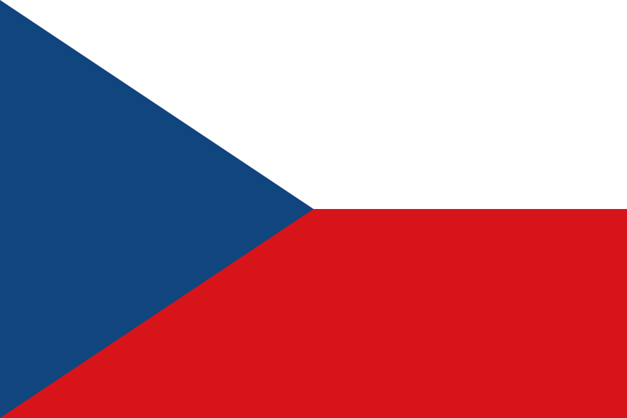 CzechiaPrague
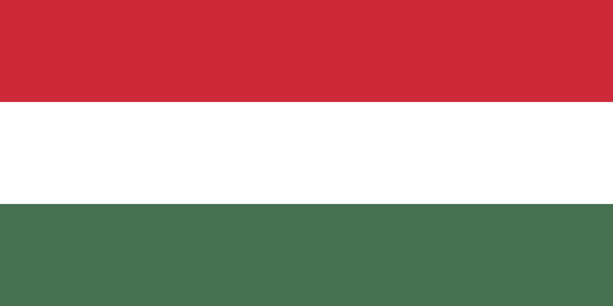 HungaryBudapest
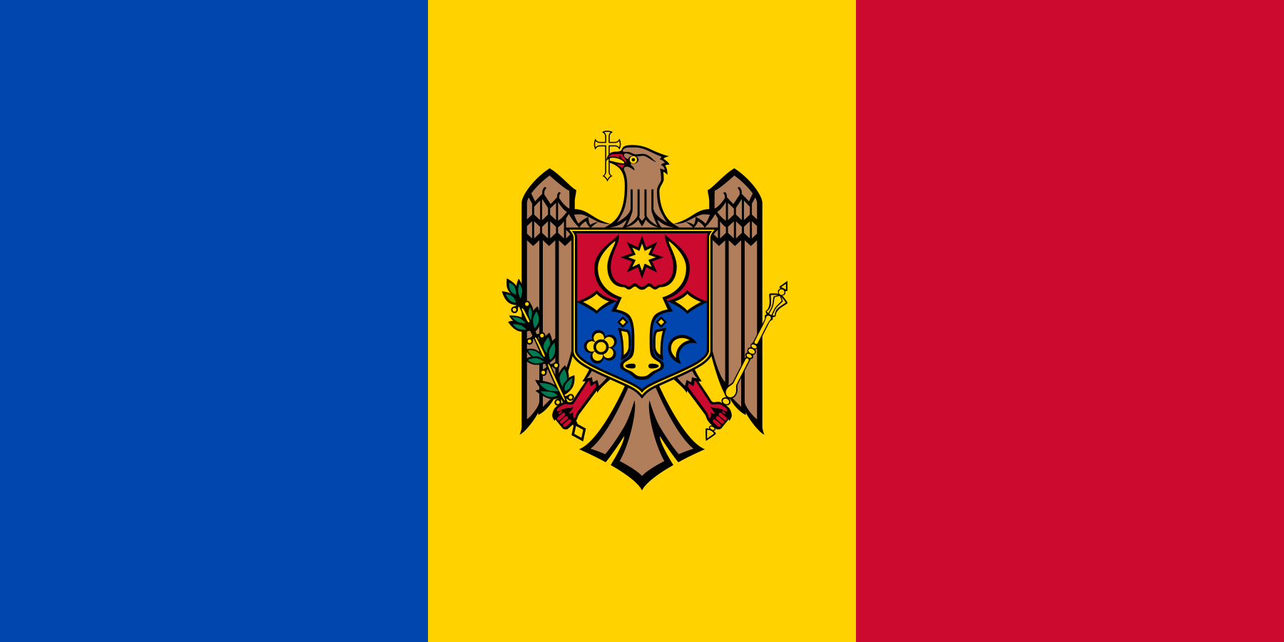 MoldovaChișinău
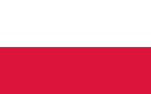 PolandWarsaw
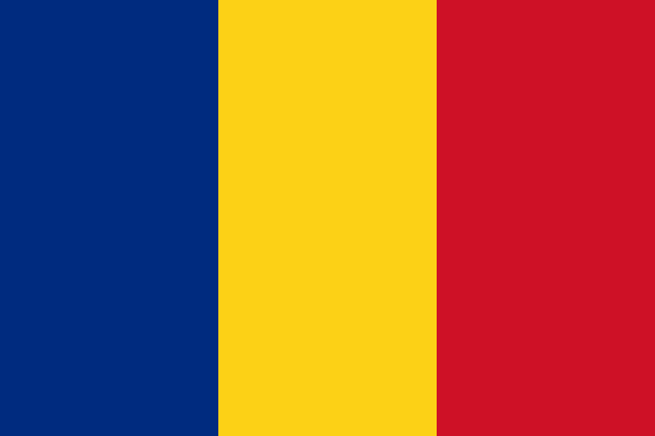 RomaniaBucharest
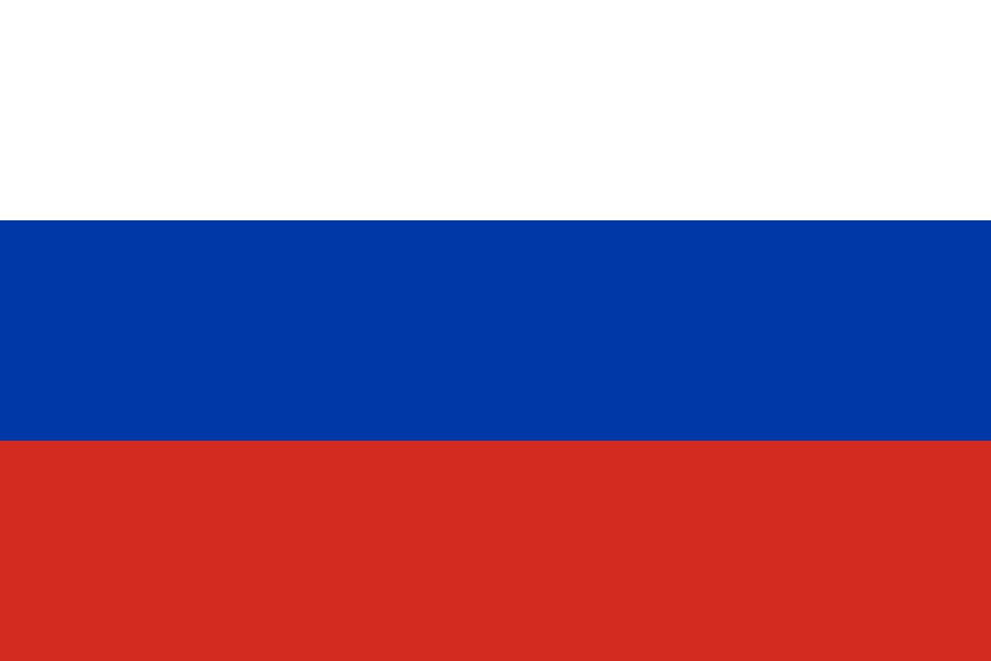 RussiaMoscow
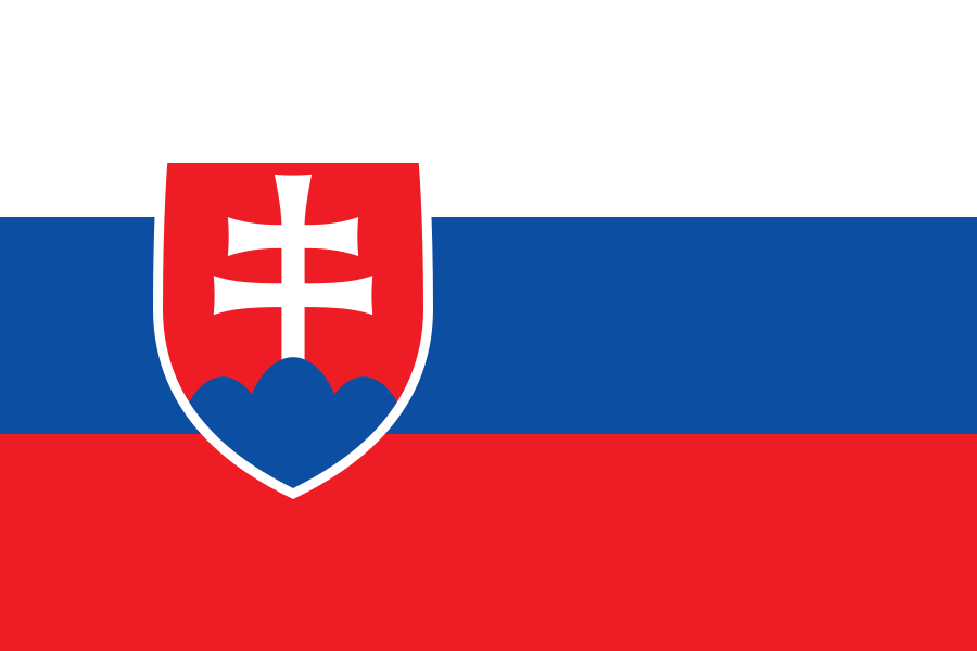 SlovakiaBratislava
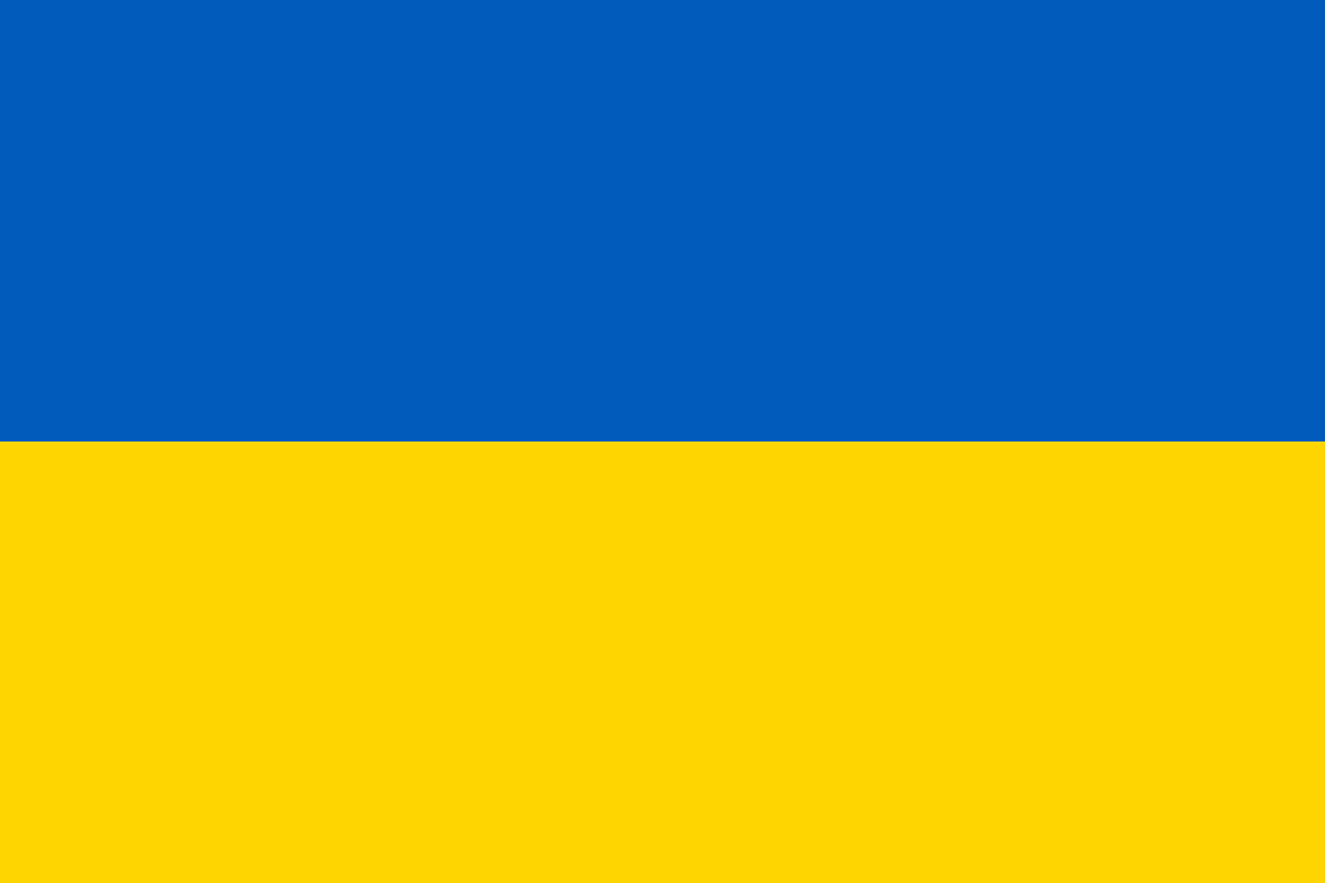 UkraineKyiv
Questions
How many countries are in the Europe map quiz?
44 — every country of Europe. A round asks 10 at random; switch to “All 44” to do the whole map.
Is Russia in the Europe map quiz?
Yes, Russia is counted with Europe here, as in the rest of GeoQuizzes. Türkiye, Georgia, Armenia, Azerbaijan and Kazakhstan are in the Asia map quiz.
How do I hit the small countries?
Countries too small to tap are drawn as circles that keep the same size when you zoom. Zoom in with + or a pinch, then tap.
Which borders does the map use?
Internationally recognised borders, from Natural Earth map data. Grey land isn’t asked: overseas territories such as Greenland, and places that aren’t UN member states. Areas with a disputed status are hatched and aren’t part of any answer; as on most online maps, some of them may be shown differently depending on your region. The map is for learning and takes no political position.
Can I use this quiz in class?
Yes — it’s free, needs no accounts and works on phones, tablets and classroom screens. In the For teachers block under the game you can copy the link or post the quiz to Google Classroom in one click. For a class site, Padlet or LMS, open “Get embed code”, copy it and paste it wherever the page accepts HTML (an “embed” or “HTML” option): the quiz then plays right on that page. The embedded version has no ads, no analytics and no cookie banner.
Can I practise flags too?
Yes — the Europe flag quiz uses the same countries.